Heavy Snowfall Predicted in J&K: Weather Alert Issued for January 4-6
Possibility of Significant Disruptions in Surface and Air Transport Expected
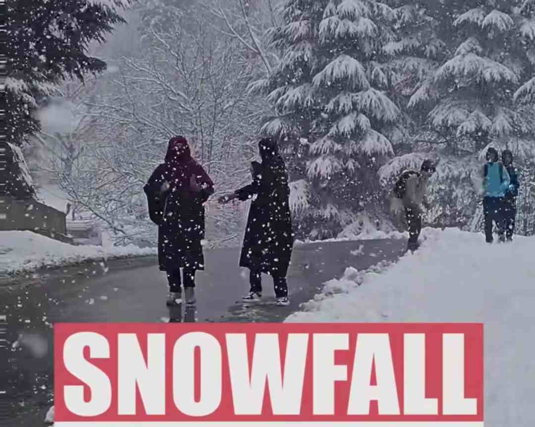
The Meteorological Department has forecasted widespread snowfall across Jammu and Kashmir, with peak intensity from the night of January 4 to the morning of January 6. Middle and higher reaches of Kashmir and Chenab Valley are likely to experience heavy snow during this period.
Detailed Forecast
According to an official from the Meteorological Department, light to moderate rain in Jammu’s plains and snowfall in most parts of J&K is anticipated, particularly from January 4 (night) to January 5 (late night). The weather is expected to improve from the afternoon of January 6.
From January 7-10, generally dry and cloudy weather is predicted. Similarly, light snow may occur in isolated areas between January 11-12, with dry weather prevailing from January 13 onward.
Travel Disruption Alert
The weather system could cause temporary disruptions to road and air transportation, especially on January 5. Travelers, tourists, and transporters are advised to plan their journeys accordingly and adhere to the traffic advisories issued by authorities.
Temperature Overview
Srinagar recorded a minimum temperature of -1.6°C, slightly above the average. Other notable temperature observations include:
- Qazigund: -6.6°C (3.6°C below normal)
- Pahalgam: -2.6°C (3.3°C above normal)
- Kupwara: -2.2°C
- Jammu: 8.7°C
- Banihal: 3.0°C
- Katra: 11.2°C
- Bhadarwah: 3.0°C
Winter in Full Swing: Chillai-Kalan
The region remains under the grip of Chillai-Kalan, the harshest 40-day winter period that began on December 21. This will be followed by Chillai-Khurd (a milder 20-day phase from January 30 to February 19) and Chillai-Bachha (the final 10-day phase from February 20 to March 1).
Stay updated with the latest weather advisories and plan your travels carefully during this snowy period.